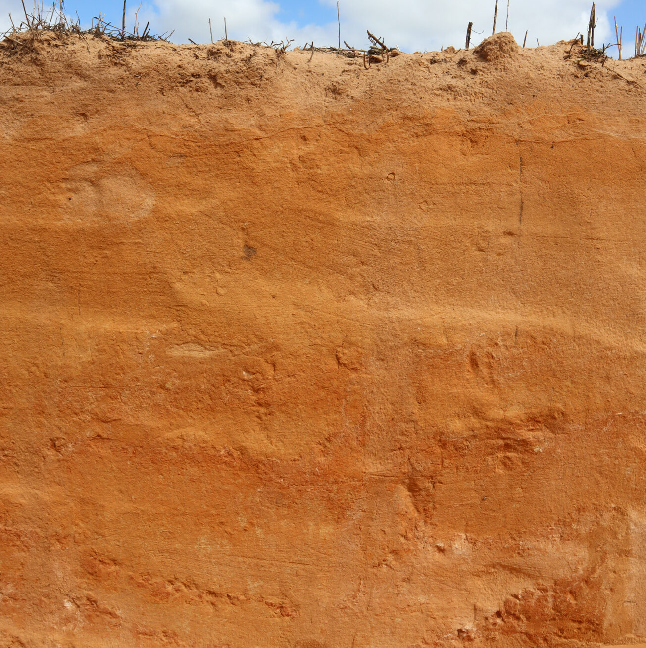
The township of Walpeup sits on the crest of a relic Loxton-Parilla strandline, or beach dune, which formed more than 5 million years ago when the ocean was retreating from the Murray Basin.
The pit we’ve dug here is located on an east-west trending dune which is composed of sand and dust that has blown in across the landscape as these old strandlines eroded over the past three million or so years!

Downloadable Data from Walpeup