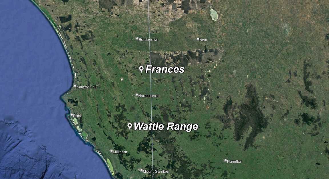
Frances
Wattle Range

The Limestone Coast
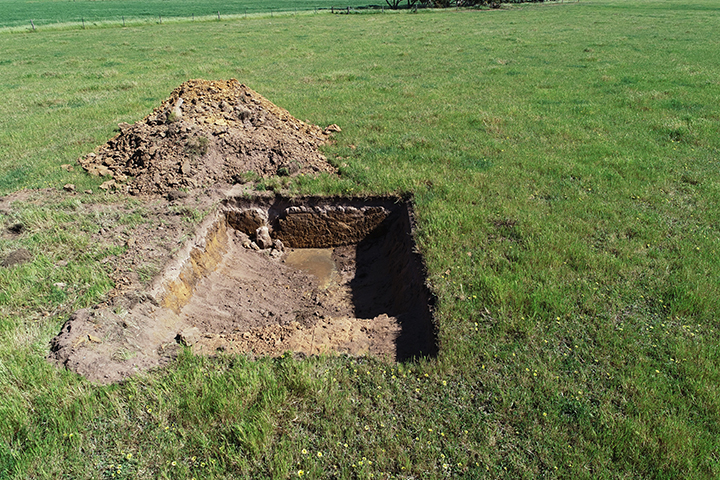
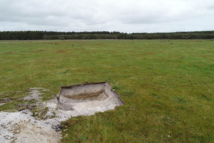
The Limestone Coast in South Australia is characterised by a series of parallel south-east to north-west trending relic sand dunes that formed as the ocean retreated across the region over the last 1 million years.
The dunes are typically comprised of deep sand over clay or calcrete, with interdunal flats and plains of clays, clay loams and shallow duplex soils. Each soil type has its own set of challenges, from poor nutrient fertility and
low water holding capacity, to seasonal waterlogging and inundation; acidity is also a common feature.
Ancient Gambier Limestone outcrops sporadically across the landscape, providing a valuable source of agricultural lime, along with volcanoes, young and old. This varied landscape provides the ideal environment to support vibrant
cropping, grazing, viticulture and forestry enterprises.


- Building drought resilience by scaling out farming practices that will enhance the productive capacity of sandy soil landscapes. Activity ID: 4-H6P3CX5, AIP2205-002OPX
- Acknowledgement: Funded through the Australian Government’s Future Drought Fund and the Grains Research & Development Corporation, and is supported by the SA Drought Resilience and Adoption Hub.